
Introduction to Continents and Oceans

As a fervent explorer and dedicated academic, the sheer scope and diversity of our planet consistently captivate me. The continents and oceans form the foundational elements of Earth’s geography, and understanding their roles is crucial for a comprehensive grasp of our global environment. In this journey, I’ll examine the importance of familiarizing oneself with the world’s continents and oceans, emphasize the benefits of an interactive world map, and steer you through a digital odyssey to discover the wonders each holds, teaching you how to label continents and oceans along the way.
Importance of Learning about Continents and Oceans

Studying the 7 continents and 5 oceans goes beyond just memorizing names and locations on a map. It endows us with a deep understanding of Earth’s physical features, weather patterns, and cultural diversity. By learning about the continents, we come to cherish the uniqueness of each region, from its vibrant cultures and breathtaking landscapes to its historical significance. Similarly, gaining insight into the oceans reveals their vital impact on climate, their support for marine life, and their contribution to worldwide trade and communication. Moreover, this knowledge of geography and history fosters a sense of global citizenship, encouraging compassion and advocating for the responsible stewardship of our planet.
Benefits of Using an Interactive Map

In addition to their extensive features, interactive state maps also provide valuable insights into the continents and oceans that make up our planet. With just a few clicks, users can explore the vast expanse of landmasses and delve into the depths of the world’s oceans. These maps allow us to understand the interconnectedness of different regions and how they contribute to the overall ecosystem. By highlighting major mountain ranges, rivers, and lakes, users can gain a deeper appreciation for the diverse landscapes found across continents. Furthermore, by zooming in on specific areas, one can uncover fascinating details about the unique flora and fauna that inhabit these regions. The interactive nature of these maps also enables users to discover interesting facts about the various ocean currents and marine life that thrive within them. Overall, interactive state maps serve as invaluable tools for both education and exploration, providing a comprehensive understanding of our planet’s continents and oceans.
Furthermore, interactive maps offer a plethora of benefits beyond their educational value. They can serve as a valuable tool for planning vacations or exploring new destinations. By simply clicking on a specific continent or ocean, users can access detailed information about its geography, climate, and even popular tourist attractions. This not only enhances one’s knowledge but also sparks curiosity and wanderlust. Additionally, these maps can be used to track current events and gain a better understanding of global issues. For example, by overlaying real-time data on population density or natural disasters, users can visualize the impact of human activity and environmental changes on different continents and oceans. Moreover, interactive maps provide a platform for collaborative learning and interaction. Students and researchers from around the world can share their findings, exchange ideas, and work together to address common challenges faced by different regions. In this way, these maps foster a sense of global citizenship and promote cross-cultural understanding. Ultimately, the study of continents and oceans through interactive maps opens up endless possibilities for exploration, discovery, and meaningful connections with the world around us.
Exploring the Continents
North America

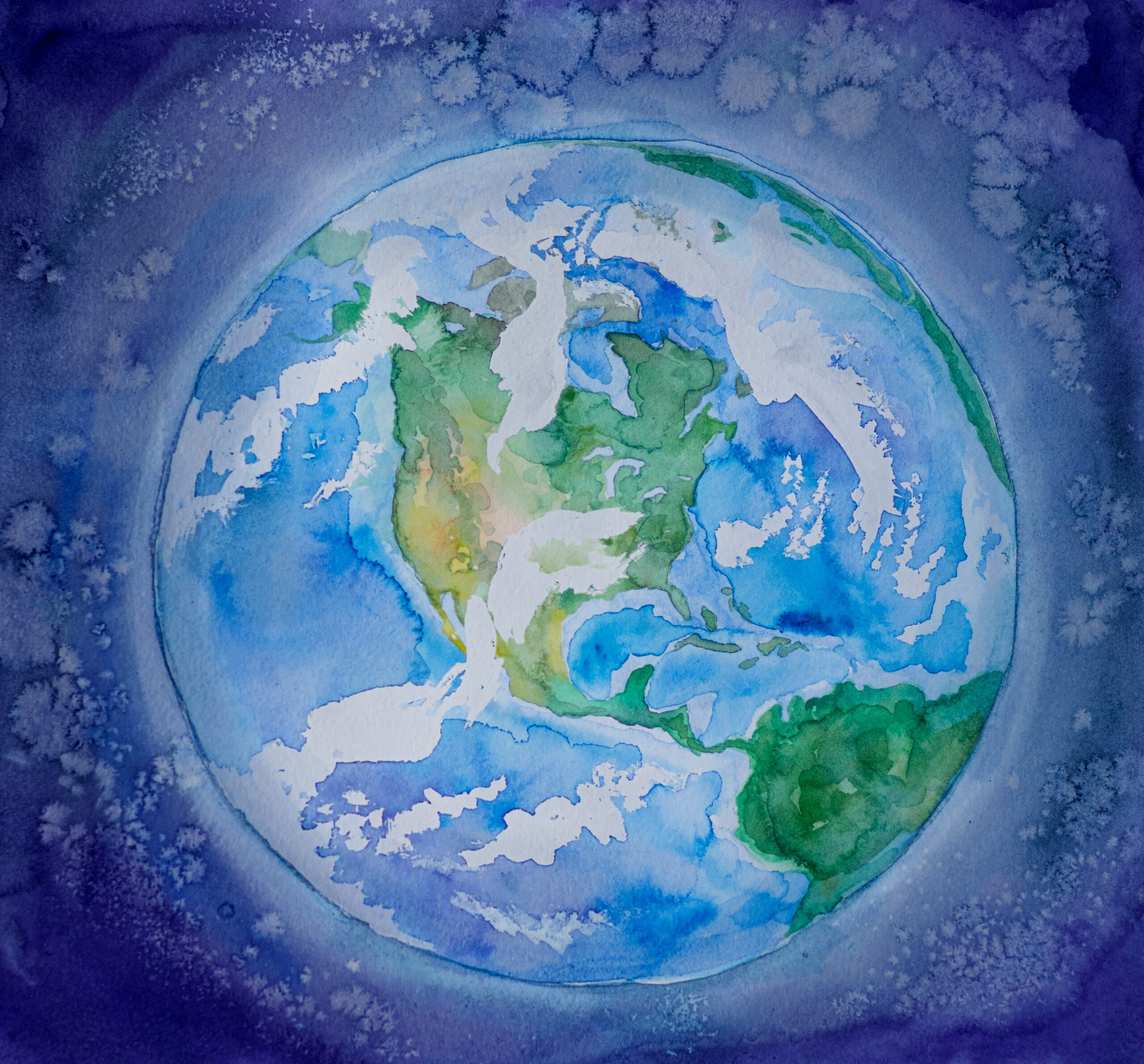
North America, the third-largest continent, is a land of diversity and striking contrasts. From bustling metropolises like New York City and Los Angeles to natural wonders such as the Grand Canyon and Niagara Falls, North America offers a range of experiences to suit every traveler. It is also home to rich indigenous cultures like the Navajo, Inuit, and Cherokee, whose histories are deeply embedded in the region. Exploring North America with a continent and ocean map reveals its extensive history, geography, and cultural tapestry with just a few clicks.
South America

South America, a continent teeming with vibrant colors, unique wildlife, and ancient civilizations, is a treasure trove of natural and cultural wonders. Iconic landmarks like Peru’s Machu Picchu, Brazil’s unspoiled beaches, and the lush Amazon rainforest exemplify South America’s allure. An interactive map guides explorers across its diverse landscapes, from the soaring Andes to the vast Pampas and the mysterious Amazon River. Playing a continent game on a world map of continents and oceans deepens our grasp of South America’s geographical and cultural richness, opening a gateway to adventure and discovery.
Europe

Europe, often celebrated as the cradle of Western civilization, is a continent steeped in history, art, and architectural marvels. From the ancient ruins of Rome to the enchanting canals of Venice and the imposing castles of Scotland, Europe’s cultural tapestry has left an indelible mark on the modern world. Interactive maps allow us to trace the footsteps of Renaissance geniuses, meander through Paris’s charming backstreets, and immerse ourselves in the continent’s myriad languages, traditions, and cuisines. With maps of continents and oceans, the splendor and variety of Europe are readily accessible, enriching our knowledge of world geography and history.
Asia

Asia, the largest continent, is a panorama of stark contrasts and enigmas. From the bustling metropolises of Tokyo and Shanghai to the serene temples of Kyoto and Angkor Wat, Asia harmonizes ancient traditions with modern innovation. Interactive maps enable us to navigate the lofty Himalayas, Bali’s lush terraces, and the lively markets of Istanbul. The interactive features of a continents and ocean map vividly bring to life Asia’s rich cultural legacy, diverse terrains, and fascinating history, beckoning us on a virtual journey of discovery.
Africa

Africa, often referred to as the cradle of humanity, is a continent that captivates with its stunning landscapes, diverse wildlife, and rich cultural tapestry. The Serengeti’s endless savannas, the Sahara’s majestic dunes, and Egypt’s timeless pyramids stand as testaments to Africa’s enchanting allure and profound historical significance. An interactive map highlighting continents and oceans offers a virtual journey into Africa’s wonders, tracking the wildebeest migration and delving into the myriad traditions and folklore of its people. This digital exploration tool magnificently shrinks the distance, bringing the grandeur of the world’s oceans and Africa’s magnificence into our homes and hearts.
Australia

Australia, celebrated as the smallest continent and the largest island, is a land of unique wildlife, pristine beaches, and primordial landscapes. Iconic landmarks such as the Sydney Opera House, the ethereal Great Barrier Reef, and the Outback’s crimson rocks provide a kaleidoscope of adventures for nature lovers and thrill-seekers alike. An interactive map that charts continents and oceans enables us to navigate through Australia’s diverse ecosystems, immerse in Aboriginal heritage, and discover the hidden gems of the Oceania region. This interactive guide places the splendor of Australia at our fingertips, beckoning us to design an adventure that’s nothing short of unforgettable.
Antarctica

Antarctica, the planet’s southernmost frontier, is a realm of icy wilderness and pristine beauty. Home to expansive glaciers, colossal icebergs, and a plethora of unique wildlife, it stands as a destination beyond compare. While traveling to Antarctica might seem formidable, an interactive map offers a unique window to virtually explore this mysterious continent. The map’s interactive capabilities allow us to uncover Antarctica’s scientific research, the wildlife’s extraordinary adaptations, and the fragile ecosystem of the southernmost continent, making it a treasure trove of knowledge for any world geography curriculum or continents and oceans quiz.
Discovering the Oceans
Pacific Ocean

The Pacific Ocean, Earth’s largest and deepest expanse of water, covers more than one-third of the planet’s surface. It is a sanctuary for an astonishing array of marine life, including the majestic whales and dolphins to a multitude of fish species. An interactive map detailing oceans and continents invites us to dive into the Pacific’s depths, chart its sprawling coral reefs, and address the pressing environmental challenges faced by this vital ecosystem. This digital exploration tool not only showcases the grandeur of the Pacific Ocean but also emphasizes the importance of conservation efforts for the Mariana Trench and the world’s oceans at large.
Atlantic Ocean

The Atlantic Ocean, the world’s second-largest ocean, has played a pivotal role in shaping human civilization and cultural exchange. It has acted as both a barrier and a bridge, influencing everything from ancient Mediterranean societies to the epoch of discovery and the transatlantic slave trade. By engaging with an interactive continents and oceans map, we can follow the historic sea routes of early explorers, experience the Atlantic coastline’s cultural mosaic, and assess the anthropogenic influences on this vast body of water. An interactive feature focusing on world map continents breathes new life into the narrative of the Atlantic Ocean, celebrating its historical significance and ongoing influence.
Indian Ocean

The Indian Ocean, bordered by Africa, Asia, and Australia, is a melting pot of cultures, ancient maritime trade routes, and breathtaking natural beauty. It presents a rich mosaic of experiences, from the serene waters of the Maldives to the bustling bazaars of Mumbai and the pristine beaches of Zanzibar. An interactive world map of continents allows us to navigate the Indian Ocean’s diverse marine ecosystem, retrace the historical trade routes that connected mighty empires, and face the environmental challenges this fragile ecosystem faces. This digital navigation tool reveals a world of exploration in the Indian Ocean, deepening our appreciation for the intricacies of world continents and oceans.
Southern Ocean

The Southern Ocean, encircling the icy realm of Antarctica, is a remote and pristine ecosystem brimming with life. Its inhabitants, ranging from the regal humpback whales to frolicsome penguins and soaring albatrosses, are a testament to nature’s tenacity and adaptability. An interactive continents quiz map offers insights into the marine fauna’s migratory patterns, tracks the movements of icebergs, and helps us understand the delicate balance of this unique environment. This interactive educational platform invites us to explore the Southern Ocean’s marvels and emphasizes the importance of its ecological preservation, enriching our knowledge of global biomes and ecology.
Arctic Ocean

The Arctic Ocean, positioned at the North Pole, is a domain of intense cold, vast ice expanses, and unique wildlife. It serves as the habitat for polar bears on the ice and the mysterious narwhals, as well as the hardy Inuit communities, rendering it a realm filled with awe and mystery. An interactive map unlocks the secrets of the Arctic Ocean’s reaction to climate change, showcases the Arctic animals’ extraordinary survival skills, and highlights the area’s cultural significance. These geography games provide a glimpse into the Arctic Ocean’s hidden and fragile ecosystem, broadening our understanding of world history.
Features of an Interactive Map for Continents and Oceans
An interactive map for continents and oceans enriches geography learning games with its comprehensive features, including the engaging online game known as the map quiz game. This feature challenges users to demonstrate their knowledge of world map continents and oceans.
- Incorporating features like Zoom and Pan, users can delve into the intricacies of geography, pinpointing specific areas on a world map with precision or seamlessly navigating between locations. These tools are integral to interactive state maps and are essential for a detailed exploration of diverse regions, including understanding latitude and longitude.
- Interactive maps can reveal a wealth of information layer by layer, becoming a valuable resource for geography learning. These layers can disclose physical features, climate trends, population statistics, and cultural points of interest, allowing learners to customize their study of world map continents and oceans.
- Some interactive maps feature real-time updates, ensuring users are informed about the latest developments in world issues and geography. This may cover live weather patterns, ongoing events, and direct feeds from specific areas, guaranteeing that the information presented is up-to-date and pertinent.
- The integration of multimedia in interactive maps can transform online educational games, including science games, by incorporating images, videos, and sound bites. This approach provides a more engaging and thorough geography learning experience.
- User engagement with interactive maps often involves the ability to add markers, annotations, and personal notes, which significantly enhances geography games. The drag and drop feature, in particular, personalizes and intensifies the learning process, especially when navigating through world map continents and oceans.
Tips for Using an Interactive Map Effectively
To optimize your experience with an interactive map of continents and oceans, consider engaging with geography learning games and incorporating them into your world geography class. These tips will enhance your understanding and enjoyment.
- Initiate your exploration with a comprehensive world map, providing an overview that offers a clear depiction of the continents and oceans of the world. This geography-focused approach allows you to grasp the spatial relationships at a global scale, and it’s an excellent opportunity to label the continents and oceans, enhancing your geographical literacy.
- After grasping the basics, delve into the details with a continent and ocean map, focusing on world map continents and enriching your geography learning. Zoom in to investigate the regions or countries that captivate your interest the most.
- Enhance your geography learning games by customizing your experience with interactive state maps. Utilize the dynamic features to tailor the map to your learning style, adding markers, annotations, and personal notes for a more personalized educational tool. Integrate printables to further enrich your interactive sessions.
- Let your curiosity lead the way and follow your interests using the map as a springboard into the diverse realms of world geography. Engage with continents game elements to transform your exploration into an interactive and captivating journey, while building a mental map of the world’s geography.
- Embrace the power of collaboration and share your interactive map findings with a geography club or within a world map continents and oceans study group. This collaborative approach, akin to a partnership for peace, enriches the learning experience by pooling knowledge and perspectives.
Educational Resources for Teaching about Continents and Oceans
For those teaching children about our planet, a plethora of educational games and online learning platforms are at your disposal, offering creative and engaging ways to delve into the world of geography. Incorporate history games to make the learning process even more engaging and informative.
- Incorporating resources like Sheppard Software, online learning platforms such as National Geographic Kids, BBC Bitesize, and Khan Academy have revolutionized geography education. They provide interactive lessons and geography games that keep children engrossed in learning about world map continents and oceans.
- Books and atlases, specifically designed for young learners with vivid illustrations and enlightening texts, transform the study of world map continents and oceans into an enjoyable adventure. These educational printables act as a colorful portal to a deeper understanding of our planet’s geography.
- Educational apps are redefining the way children learn geography by offering interactive state maps and science quizzes. This approach turns the discovery of continents and oceans into a captivating and interactive experience for young minds.
Interactive Activities for Further Learning
To further enhance your learning about continents and oceans, consider the following interactive activities:
- Virtual field trips offer an unparalleled opportunity to explore the wonders of world landmarks from the comfort of your home. These online excursions allow you to navigate continents and oceans maps, thanks to the digital contributions of museums, national parks, and cultural sites.
- Geocaching, the GPS-enabled treasure hunting game, combines adventure with learning as it leads participants on a quest for hidden caches across continents and oceans. This activity, which can be enhanced by aiming for a high score, is a thrilling way to engage with a continents and oceans quiz on a world map.
- Language exchange programs utilize interactive maps to connect learners with native speakers in Spanish speaking countries and others, enriching language abilities and cultural knowledge across various world map continents and oceans. These programs often inspire participants to make their own games, further personalizing the learning experience.
- Online forums and communities serve as a digital meeting place for geography aficionados, travelers, and cultural exchange enthusiasts. Engaging with others, including those interested in Commonwealth of Nations, G20 member countries, and NATO member countries, can significantly enhance one’s knowledge of the diverse continents and oceans.
Conclusion
Embark on a geography learning adventure with an interactive world map, a journey brimming with discovery and enlightenment that highlights the land area of each continent. The vibrant cultures of North and South America, the ancient traditions of Asia, and the diverse wildlife of the oceans showcase our planet’s rich tapestry of wonders. Utilizing an interactive map not only allows us to transcend geographical boundaries but also enhances our understanding of the world’s continents and oceans, nurturing a sense of global citizenship. So, grab your virtual compass, dive into tournament games that traverse the globe, and unlock the myriad of secrets held within our world with the aid of an interactive map.
Author: CENTNETWORK
Courtesy: EPICMAZE
Increase Alexa Rank
19 thoughts on “Continents and Oceans: Lost Lands and Mysterious Abysses 7/5”